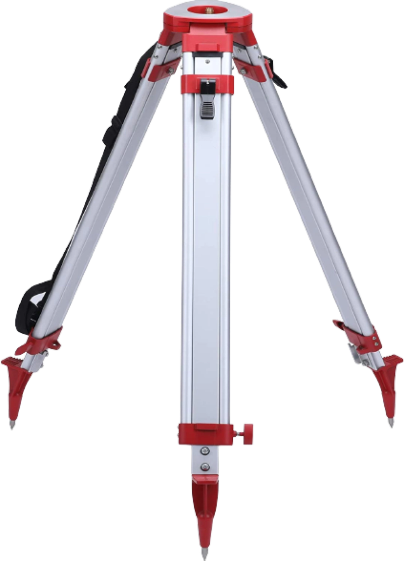
These are used with a variety of survey equipment, there is a wide selection of tripods, ranging from wooden ones with round base to aluminum and fiberglass glass with triangular bases depending on your equipment. You have the option for a full or mini tripod too depending on site application. Apex recommends having both.
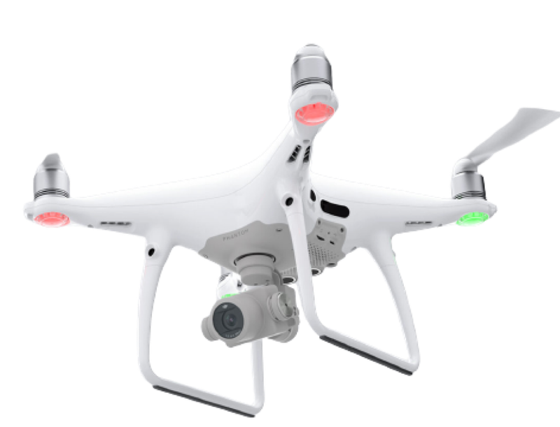
With the advantage to access hard to reach areas and gather data quickly, safely and efficiently, drones can reduce the need for ground based surveying equipment and personnel saving time and money.
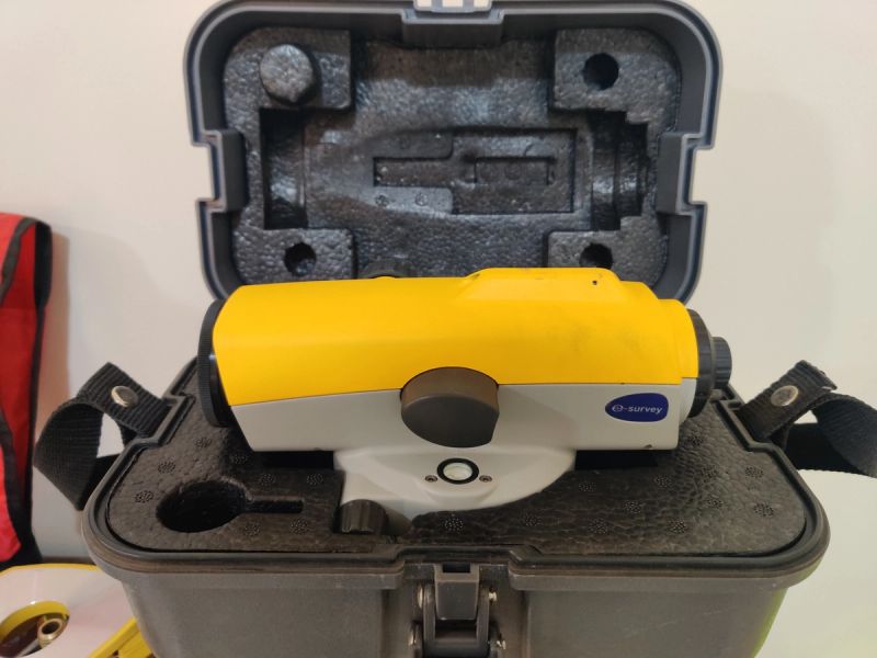
Level equipment are very important for any activity where plumbness and slopes are required. They are very durable due to the nature of work they are involved in and given the fact that they have very few moving parts.
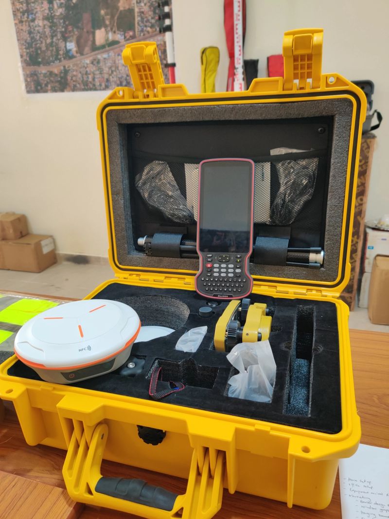
These are Global Navigation Satellite Systems used to provide accurate location data essential for geodetic controls establishment and re-establishment. They offer real time location data (RTK) helping to quickly, accurately and efficiently carry out topographical surveys that would essentially take long with optical equipment.